
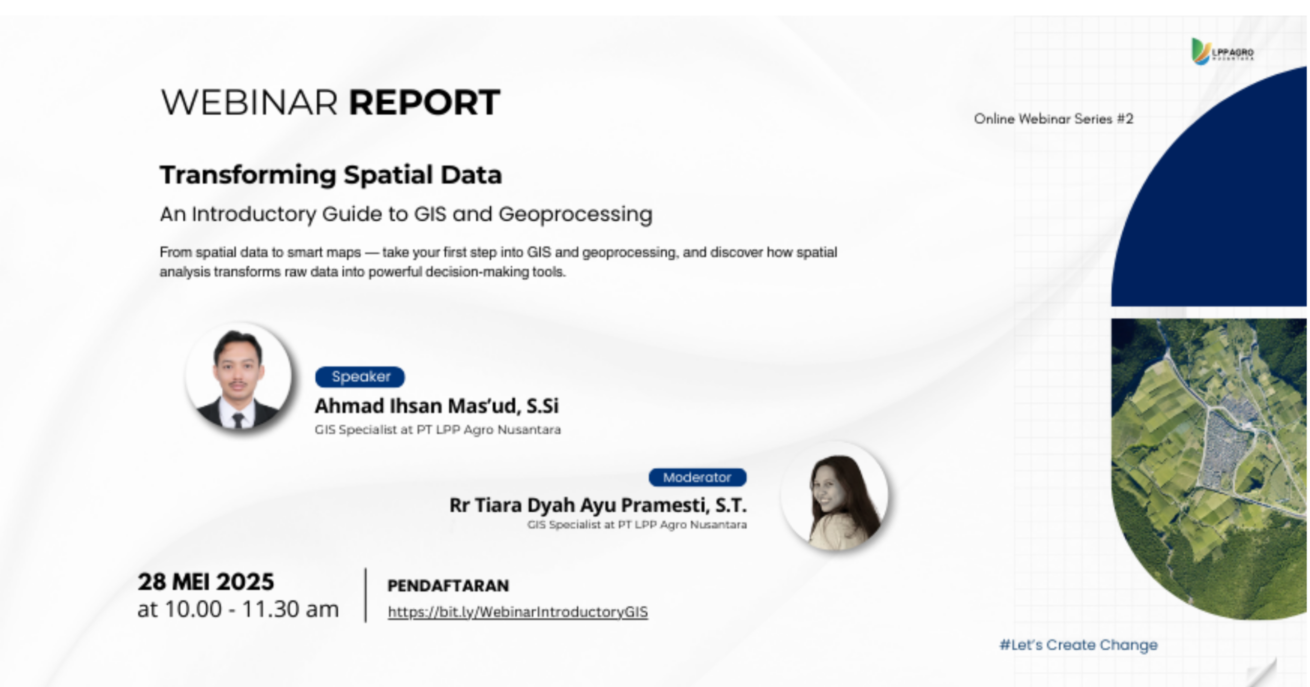
On May 28, 2025, Digi-I LPP Agro Nusantara successfully held Online Webinar Series #3 entitled “Transforming Spatial Data: An Introductory Guide to GIS and Geoprocessing.” This webinar was held online via Zoom Conference and was intended as an introductory guide for participants to understand how spatial data is processed through GIS and geoprocessing to become maps and information that support decision-making.
The webinar featured Ahmad Ihsan Mas’ud, S.Si, GIS Specialist at PT LPP Agro Nusantara, as the main speaker. The material focused on the basic concepts of Geographic Information System (GIS), including definitions, main components of GIS (hardware, software, data, methods, and people), as well as the benefits and purposes of using GIS in various fields.
In the initial session, participants were introduced to maps and their main components, including types of maps based on content and purpose, as well as the basic principles of map presentation. The discussion then continued to the concept of spatial data, covering the differences between vector and raster data, data structures, and the sources and acquisition of spatial data from analog maps, remote sensing, field measurements, and national spatial data portals.


In the initial session, participants were introduced to maps and their main components, including types of maps based on content and purpose, as well as basic principles of map presentation. The discussion then moved on to the concept of spatial data, covering the differences between vector and raster data, data structures, and sources and acquisition of spatial data from analog maps, remote sensing, field measurements, and national spatial data portals.
This webinar also emphasized the importance of geoprocessing as the core of spatial analysis, where raw data can be processed into meaningful information. Participants were invited to understand the basic workflow of GIS, from data management and spatial analysis to the presentation of results in the form of informative maps.
This activity was moderated by Rr Tiara Dyah Ayu Pramesti, S.T., GIS Staff at PT LPP Agro Nusantara, who guided the discussion and interactive question and answer session. In addition to the presentation of material, the webinar also included a hands-on session using QGIS, which covered an introduction to the interface, loading vector and raster data, the georeferencing process, digitization, simple geoprocessing, and map layout design (print layout).
Through this webinar, participants are expected to gain a strong basic understanding of GIS, particularly regarding how spatial data is transformed into maps and analytical information that can be used as a basis for data-driven decision making.