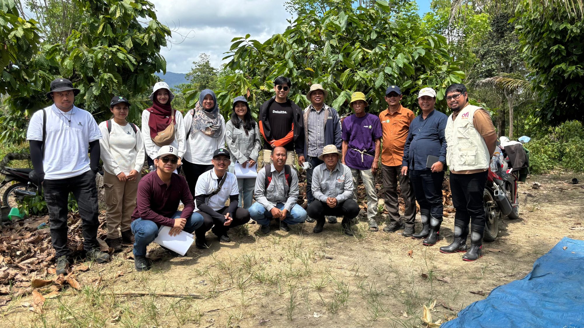
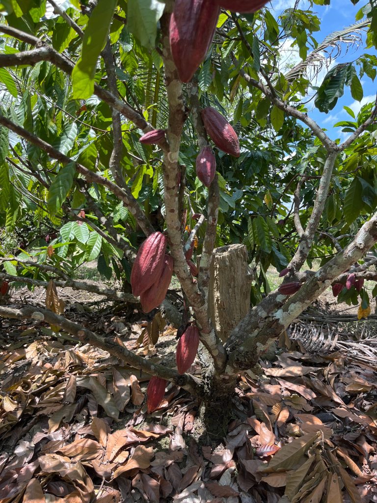
Cocoa Plantation Mapping Area is a geospatial intelligence solution implemented by Digi-I in collaboration with Deloitte Consulting to support accurate spatial analysis and operational planning for cocoa plantations. Mapping and measurement are fundamental steps in effective plantation management, as accurate data on land size and location are essential for planning, monitoring, and evaluating plantation productivity. Reliable geospatial information enables stakeholders to make informed decisions related to land utilization, operational efficiency, and long-term plantation development.

The project was carried out across multiple regions, covering the Province of Lampung and the Province of Southeast Sulawesi, with specific survey locations in the Regency of Tanggamus and the Regency of East Kolaka. The estimated total survey area reached 6,658 hectares across six plantation areas in Lampung and 4.67 hectares across six plantation areas in Kolaka. These locations were selected to represent varying plantation conditions, ensuring that the resulting data could be used both for site-level management and broader strategic analysis.
Field survey activities were conducted through an integrated approach combining ground-based and aerial data collection. The activities included GNSS/GPS field tracking, land area measurement, boundary identification, visual documentation, aerial photo mapping using drones, and spatial data analysis using Geographic Information System (GIS) software. This approach ensured consistency between field observations and spatial imagery, resulting in accurate and verifiable geospatial datasets.
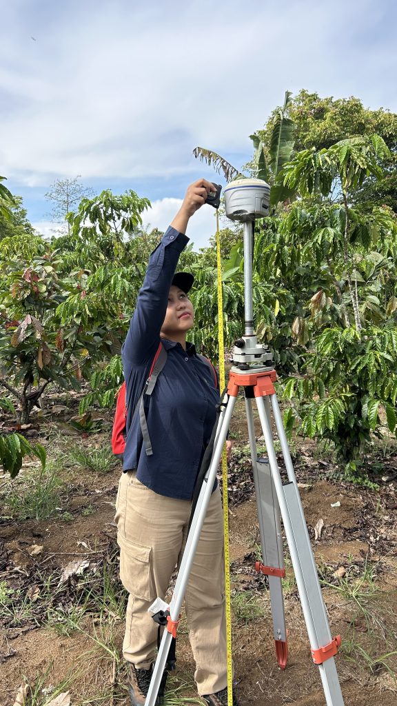
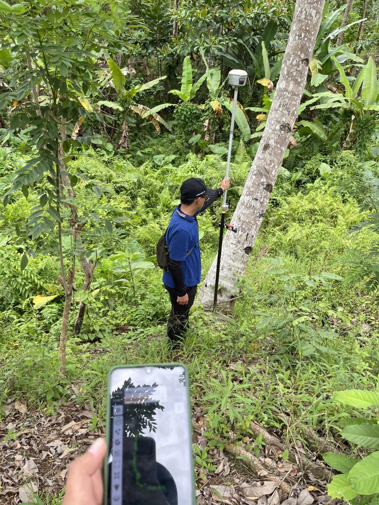
The methodology applied in this project combined land boundary measurement techniques and aerial photo mapping techniques. GNSS/GPS Geodetic RTK tracking was used to achieve high positional accuracy by applying the Real-Time Kinematic method, which utilizes base and rover GNSS receivers to perform real-time correction of satellite signal errors through radio/UHF or internet-based NTRIP connections, producing centimeter-level accuracy. In addition, drone photogrammetry using the Post-Processing Kinematic (PPK) method was applied to correct GNSS data through post-processing with base station observations, resulting in highly accurate orthophotos and spatial alignment.
The project outputs included Cocoa Plantation Polygon maps and orthophotos for both Lampung and Kolaka areas. These geospatial products provide a reliable foundation for plantation monitoring, spatial analysis, and operational planning, supporting data-driven decision-making and strengthening the overall management of cocoa plantation assets.