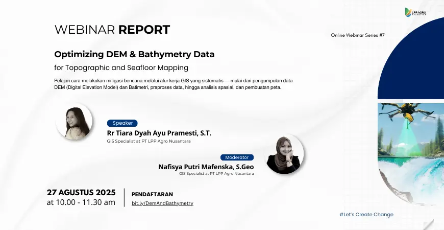
On August 27, 2025, Digi-I LPP Agro Nusantara successfully held an online webinar as part of the Online Webinar Series #6 entitled “Optimizing DEM & Bathymetry Data for Topographic and Seafloor Mapping.” This webinar aimed to provide a comprehensive understanding of the use of Digital Elevation Models (DEM) and bathymetry data in topographic analysis and seafloor mapping based on Geographic Information Systems (GIS).
The webinar session was presented by Rr Tiara Dyah Ayu Pramesti, S.T., who explained the basic concepts of DEM and bathymetry, data characteristics, and their benefits in various geospatial analysis applications. The material covered the differences between DSM, DTM, and DEM, sources of DEM data from field surveys, satellite imagery, radar and LiDAR technology, and their use in topographic mapping, geomorphological analysis, and regional planning.


In addition, participants also gained an understanding of bathymetry, which focuses on mapping and analyzing the depth and morphology of the seabed. The discussion covered the benefits of bathymetry for marine disaster mitigation, marine development planning, and marine resource exploration. Various bathymetry data sources, such as singlebeam and multibeam echosounders, LiDAR bathymetry, satellite imagery, and existing sea maps, were also introduced in this session.
The webinar was moderated by Nafisya Putri Mafenska, S.Geo, and included a hands-on session discussing the workflow of spatial data downloading, DEM and bathymetry processing, and the creation of land and sea contour maps using GIS software. The discussion and question-and-answer session was interactive.
The enthusiasm of the participants was reflected in the number of registrants, which reached 225, with 80 participants attending, coming from various backgrounds, ranging from academics, practitioners, to students in the fields of geospatial and disaster management.
Through this activity, Digi-I LPP Agro Nusantara hopes to increase the capacity of participants in optimizing the use of DEM and bathymetry data as a basis for spatial analysis, regional planning, and disaster risk mitigation in a more systematic and data-driven manner.