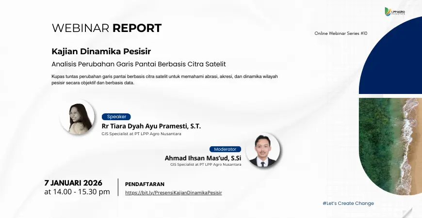
On January 7, 2026, Digi-I LPP Agro Nusantara held an online webinar as part of the Online Webinar Series #10 with the theme “Coastal Dynamics Study: Analysis of Coastal Line Changes Based on Satellite Imagery.” This activity aimed to enhance participants’ understanding of coastal dynamics and the use of remote sensing technology and Geographic Information Systems (GIS) in analyzing coastal line changes.
The webinar was presented by Rr Tiara Dyah Ayu Pramesti, S.T., who explained the basic concepts of coastline change, its characteristics and causes, as well as the impacts caused by natural processes and human activities. The material also discussed the use of optical and radar satellite imagery, such as Landsat, Sentinel-2, and Sentinel-1, in monitoring abrasion and accretion objectively and based on data.
During the presentation session, a visualization of coastal change maps was displayed, showing the dynamics of abrasion and accretion in coastal areas. The analysis was conducted using a GIS-based Digital Shoreline Analysis System (DSAS) approach, which is capable of quantitatively calculating the rate and pattern of coastal change through statistical methods, such as Net Shoreline Movement (NSM) and End Point Rate (EPR).


This webinar was moderated by Ahmad Ihsan Mas’ud, S.Si, and included a hands-on session discussing the process of downloading satellite image data, data processing stages, and creating coastal change maps using GIS software. The discussion and question-and-answer session was interactive, with active participation from attendees.
The enthusiasm of the participants was reflected in the number of registrants, which reached 389 people, with 261 participants attending, coming from various backgrounds, ranging from academics, practitioners, students, to observers of coastal and environmental issues.
Through this webinar, Digi-I LPP Agro Nusantara hopes to encourage the use of geospatial technology and satellite data as a basis for planning, coastal zone management, and sustainable environmental risk mitigation.