
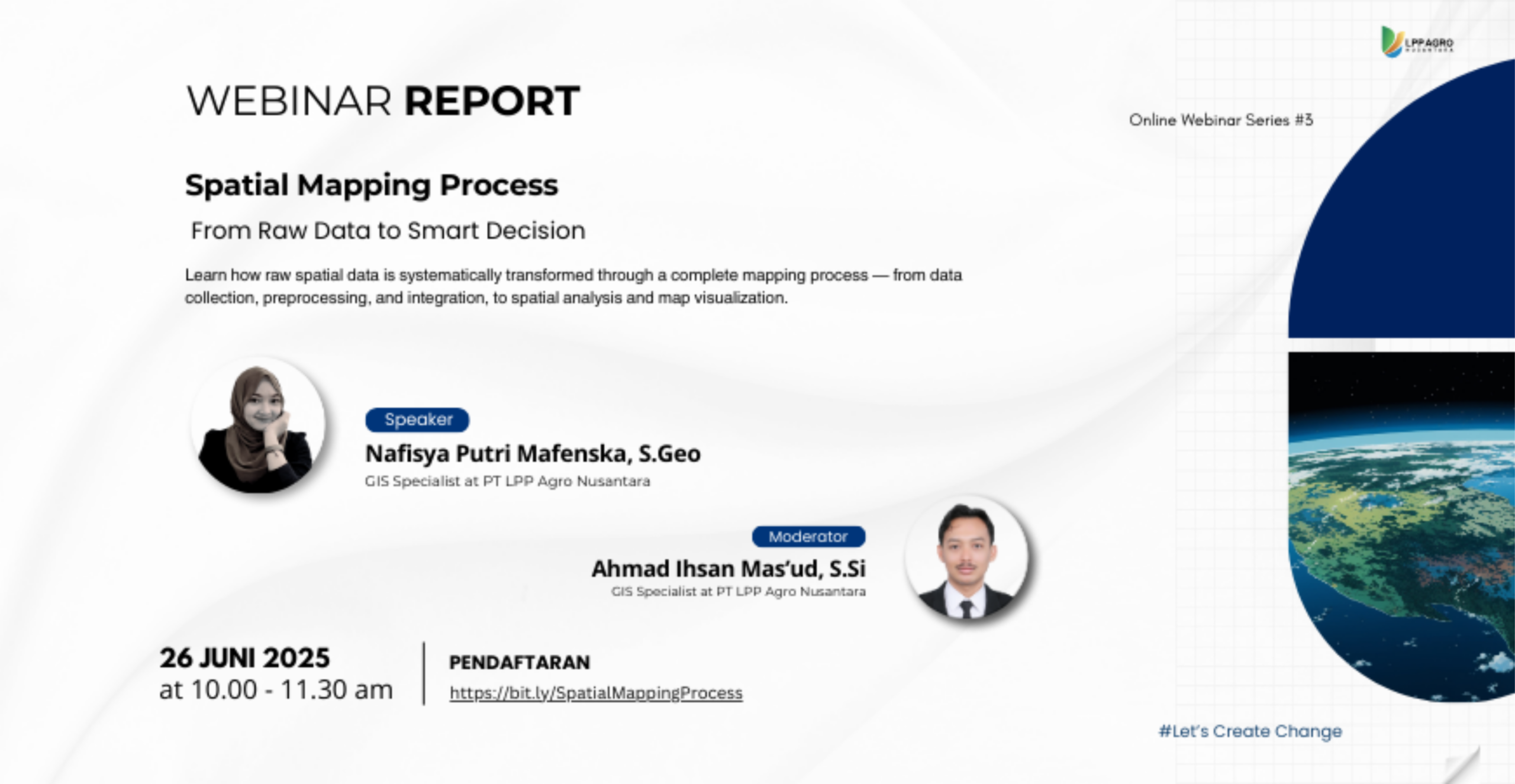
On June 26, 2025, Digi-I LPP Agro Nusantara successfully held its third Online Webinar Series entitled “Spatial Mapping Process: From Raw Data to Smart Decision.” This webinar was held online via Zoom Conference and aimed to provide a comprehensive understanding of the spatial mapping process, from raw data to smart, data-driven decision making.
The webinar featured Nafisya Putri Mafenska, S.Geo, GIS Specialist at PT LPP Agro Nusantara, as the main speaker. The material presented covered the basic concepts of mapping, the definition of maps based on national standards, and the important role of maps in development planning, policy making, environmental management, and even legal and regulatory aspects of the region.


During the presentation session, the speaker explained the types of maps based on their presentation, including manual/printed maps, digital maps, and interactive maps (Web GIS), along with their respective advantages and limitations. Participants were also introduced to the types of maps based on content and purpose, namely base maps and thematic maps, which refer to SNI 19-7645-2010 concerning Base Maps and Law No. 4 of 2011 concerning Geospatial Information.
The discussion continued with an explanation of the main components of maps and the rules for presenting maps in accordance with standards, referring to BIG Regulation Number 3 of 2016 and RSNI3 9317:2024 (Map Visual Layout Standards). In this section, participants gained an understanding of the application of symbols, elevation and depth colors, as well as the rules for writing and typography of maps according to scale.
The webinar was moderated by Ahmad Ihsan Mas’ud, S.Si, GIS Specialist at PT LPP Agro Nusantara, who guided the discussion to remain interactive and focused. The activity also included a hands-on session, where participants were invited to understand the practical workflow of spatial mapping, from data processing to the preparation of informative map layouts that comply with cartographic standards.
Through this webinar, participants are expected to gain a comprehensive understanding of the spatial mapping process, not only from the technical side of data processing, but also from the aspects of standards, visualization, and its use as a basis for smart decision making in various sectors.