
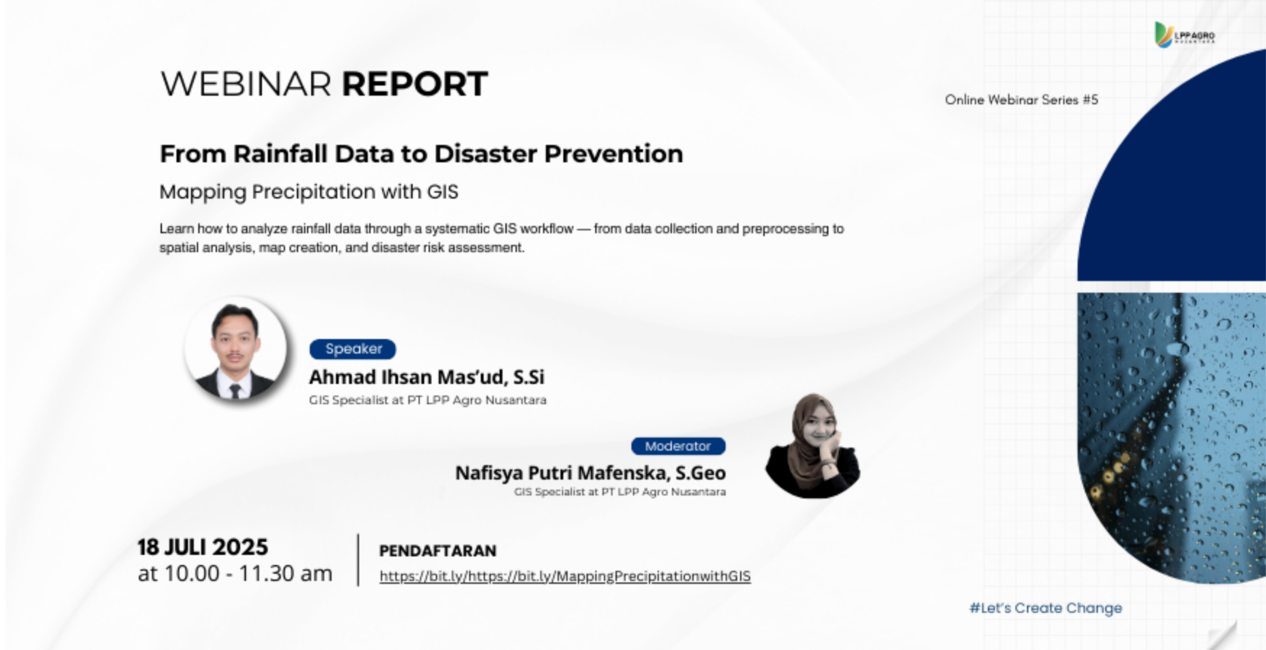
On July 18, 2025, Digi-I LPP Agro Nusantara successfully held an online webinar as part of the Online Webinar Series #6 entitled “From Rainfall Data to Disaster Prevention: Mapping Precipitation with GIS.” This webinar aimed to increase participants’ understanding of the use of rainfall data and its analysis using Geographic Information Systems (GIS) as a basis for hydro-meteorological disaster prevention and mitigation efforts.
This webinar featured Ahmad Ihsan Mas’ud, S.Si, GIS Specialist at PT LPP Agro Nusantara, as the guest speaker. The material begins with an introduction to the basic concepts of hydrometeorological data, including definitions, properties, and examples of data, as well as an explanation of various ways to obtain hydrometeorological data, whether through ground-based measurements, space-borne remote sensing, or modeling and reanalysis data.


The discussion then focused on precipitation data, starting from the definition, measurement principles, to data sources such as point measurements (rain gauges), radar, and satellite imagery. The speakers also explained the concept of regional rainfall, including commonly used analytical approaches, such as weighted averaging methods (Arithmetic, Thiessen Polygon, Hypsometric) and spatial interpolation using IDW, Kriging, and Spline methods.
This webinar was hosted by Nafisya Putri Mafenska, S.Geo, and included a hands-on session discussing the technical workflow, starting from accessing and downloading rainfall data, introducing data structures, calculating monthly and annual rainfall, to the geoprocessing interpolation process to produce regional rainfall maps. Participants were also invited to compare the results of various interpolation methods to understand the advantages and limitations of each approach.
The enthusiasm for this activity was reflected in the number of registrants, which reached 219 people from various backgrounds, ranging from students, academics, to practitioners in the fields of geospatial, disaster management, and the environment. The discussion and question-and-answer sessions were interactive and constructive.
Through this activity, Digi-I LPP Agro Nusantara hopes to improve participants’ capacity to process and analyze spatial rainfall data as a basis for disaster risk assessment, regional planning, and more data-driven and scientific decision-making.